Alaska_3D 1.0
Alaska_3D 1.0 is a comprehenive data-driven three-dimensional tectonic configuration of the Alaska subduction zone and overriding plate(s) in Alaska constructed with TECT_Mod3D (Jadamec and Billen, Nature, 2010; Jadamec and Billen, JGR, 2012; Jadamec et al., EPSL 2013; Haynie and Jadamec, Tectonics, 2017).
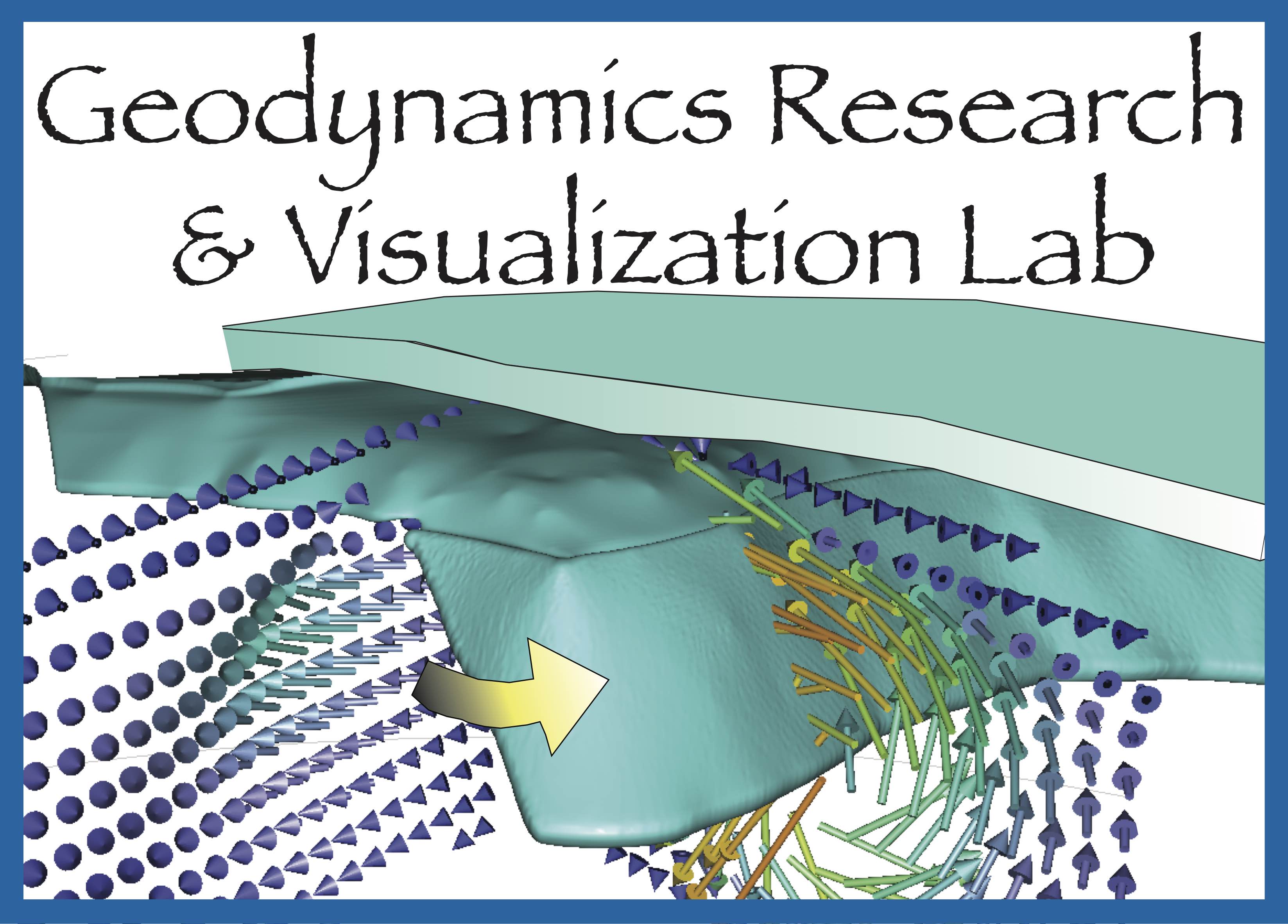
Below is a visualization through the Alaska_3D 1.0 grid and thermal structure.
Isosurfaces and slices show the laterally variable upper plate thickness and outline the subducted Pacific plate and eastern Alaska slab edge (Jadamec and Billen, Nature, 2010; Jadamec and Billen, JGR, 2012; Jadamec et al., EPSL 2013; Haynie and Jadamec, Tectonics, 2017).
Constructed with TECT_Mod3D (formerly SubductionGenerator program) written by Margarete Jadamec Data used to constrain structure listed in Jadamec and Billen (Nature, 2010; JGR 2012) and Jadamec et al., EPSL 2013.
ALASKA_3D 1.0: 3D SLAB GEOMERTY CONTOUR FILES
The following ascii xyz files are two end-member geometries for the Aleutian-Alaska slab used to construct the two respective end-member 3D thermal structures for ALASKA_3D 1.0.
In both slab geometries, the slab surface forms a flat slab apex beneath south central Alaska with outwardly dipping steeper flanks.
The slab shapes differ in the depth extent of the slab beneath the Wrangell Volcanics, that is in the eastern slab segment.
In the Alaska Slab E115, the easternmost portion of the Alaska slab located beneath the Wrangells is shorter than in the Slab E325.
The geometry of Slab E115 provided the best fit to the observations when used in the geodynamic models of Jadamec and Billen (2010, 2012).
Download Alaska Slab E115 Data File: SlabE115.dat (~33MB)
Download Alaska Slab E325 Data File (which is the slab surface that provided a poorer fit):
SlabE325.dat (~37MB)
The xyz files can be loaded into GMT for plotting and for the extraction of slab contours at your interval of choosing.
When using the slab surfaces please cite: Jadamec and Billen, 2010, Nature, 465, p. 338-342.
The seismic data sets I used to construct these two end-member Aleutian-Alaska slab surfaces are given in the Supplemental Information of Jadamec and Billen, 2010, Nature, 465, p. 338-342.
The naming refers to the depth of the "Eastern" part of the slab beneath the Wrangell mountains, in Slab E115 the eastern part is shorter; in Slab E325 it is longer.
In the geodynamic model there is a difference between (a) the depth of the actual slab surface geometry and (b) the depth to which it is represented by a thermal anomaly.
The Slab E115 and E325 nomenclature refer to the depth of an isotherm of the slab in the eastern slab segment in the geodynamic model.
Jadamec et al. (2013) and Haynie and Jadamec (2017) used SlabE115 (i.e., the slab with the shorter segment beneath the Wrangells),
whereas Jadamec and Billen (2010, 2012) tested the effects of both SlabE115 and SlabE325.
Movie: Comparison of SlabE115 to other Alaska Slab Geometry Models
RESEARCH PUBLICATIONS ON ALASKAN TECTONICS
(8) Torne, M., Jiménez–Munt, I., Vergés, J., Fernàndez, M., **Carballo, A., and
Jadamec, M., 2019, Regional Crustal and Lithospheric thickness Model for Alaska, the Chukchi Shelf, and the Inner and Outer Bering Shelves. Geophysical Journal International, vol. 220 (1), p. 522-540. doi.org/10.1093/gji/ggz424
(7) *Haynie, K. L. and M. A. Jadamec, 2017, Tectonic drivers of the Wrangell block: Insights on forearc sliver
processes from 3D geodynamic models of Alaska. Tectonics, vol. 36, 28 pp. doi: 10.1002/2016tc004410
(6) Jadamec, M. A., 2016, Insights on slab-driven mantle flow from advances in three-dimensional modelling. Journal of Geodynamics, vol. 100, p. 51-70. doi:dx.doi.org/10.1016/j.jog.2016.07.004,(In Press Proof)
(5) Jadamec, M. A. and Wallace, W. K., 2014, Thrust-Breakthrough of asymmetric anticlines: Observational constraints from surveys in the Brooks Range, Alaska. Journal of Structural Geology, 62, p. 109-124. http://dx.doi.org/10.1016/j.jsg.2014.01.012
(4) Jadamec, M.A., Billen, M.I., and Roeske, S. M., 2013, Three-dimensional numerical models of flat slab subduction and the Denali fault driving deformation in south-central Alaska. Earth and Planetary Science Letters, 376, p. 29-42. doi:10.1016/j.epsl.2013.06.009, (PDF)
(3) Jadamec, M. A. , Billen, M. I., and Kreylos, O., 2012, Three-dimensional simulations of geometrically complex subduction with large viscosity variations. ACM Proceedings of the 2012 Conference on eXtreme Science and Engineering Discovery Environment. doi:10.1145/2335755.2335827,(PDF)
(2) Jadamec, M.A., and Billen, M.I., 2012, The role of rheology and slab shape on rapid mantle flow: 3D numerical models of the Alaska slab edge. Journal of Geophysical Research, 117, B02304. doi:10.1029/2011JB008563, (PDF)
(1) Jadamec, M.A., and Billen, M.I., 2010, Reconciling surface plate motions with rapid three-dimensional mantle flow around a slab edge. Nature, 465, p. 338-342. doi:10.1038/nature09053, (PDF), Suplemental Material (PDF)
*Indicates PhD student supervised.
3D geodynamic models demonstrate both flat slab subduction and the Denali fault shear zone are required to produce the far-field mountain building of the central Alaska Range. See published paper in EPSL (
Jadamec et al., 2013). Video made in collaboration with Oliver Kreylos at the UC Davis KeckCAVES.

